Modern, Adaptive, Functional & Stylish Web Sites for Artists, Business and Non Profits
Based on Salt Spring Island, British Columbia, Canada
Thank you for visiting Salt Spring Design & Salt Spring Photography. Please be sure to check our gallery pages while you are here.
Salt Spring Design is synonymous with, and a central hub for, Salt Spring Photography, Kmax Multimedia, the online Map of Salt Spring Island, Gulf Island Maps, Pender Islands Maps, and more. All are owned and operated by multidisciplinary communication artist/musician, Kenneth Fersht

Testimonials

Zen m’a invité à faire une journée shooting. Je n’avais jamais fait cela auparavant, c’était mon 2e shooting la 1ere étant avec lui aussi (30min)! J’étais assez gênée de prendre la pose surtout au début, mais il sait définitivement mettre ses modèles à l’aise. Tout en gardant pudeur et professionnalisme il capture une essence très sensuelle et purement artistique de l’instant. Avec son regard plus qu’affine il saisit des moments de beauté que seul lui sait voir. La nature luxuriante de Salt Spring Island a offert comme toujours de splendide couleur dont Zen connait les secrets. Vous êtes aux petits oignons toute la journée tout en découvrant des merveilles de Salt Spring Island !Merci Zen ! Merveilleuse expérience ! À bientôt sûrement !

“I have had the pleasure of working with Ken on many occasions. In our numerous photoshoots, he has always been very respectful, kind, and conscientious, offering a safe space with a professional attitude. Ken is a great communicator, he consistently checks in to ensure that our work is going smoothly in a balanced and mutually beneficial direction. He is currently building a website for my business and I trust his guidance and support, and throughout the whole process, he has gone above and beyond to provide the best service possible. I highly recommend Ken’s services to all clients who are seeking conscious business partnerships in the realm of photography and website design, the quality of care that Ken dedicates to his craft is heartfelt and inspiring.”

“Kenneth helped me develop my website over several months and I was totally committed to the process, and to maintaining the highest standards. Kenneth stands out as conscientious, collaborative, and professional. He has an excellent response time, and provides great value to his customers. I so value his professionalism that after working with him for some time, I decided to also hire Kenneth on a personal photo shoot for a family member. In this context, I found him to be an equally professional and valuable ally. I recommend hiring Kenneth for a job in web design or photography.”

”I have worked with Ken as a model on several photoshoots. It was always a fun and exciting experience. He was very conscientious and worked with me in a collaborative way so that we could do shoots that we both felt comfortable with and happy about. He is always open to making new connections but is also professional and respectful of people’s boundaries. He does gorgeous work.”
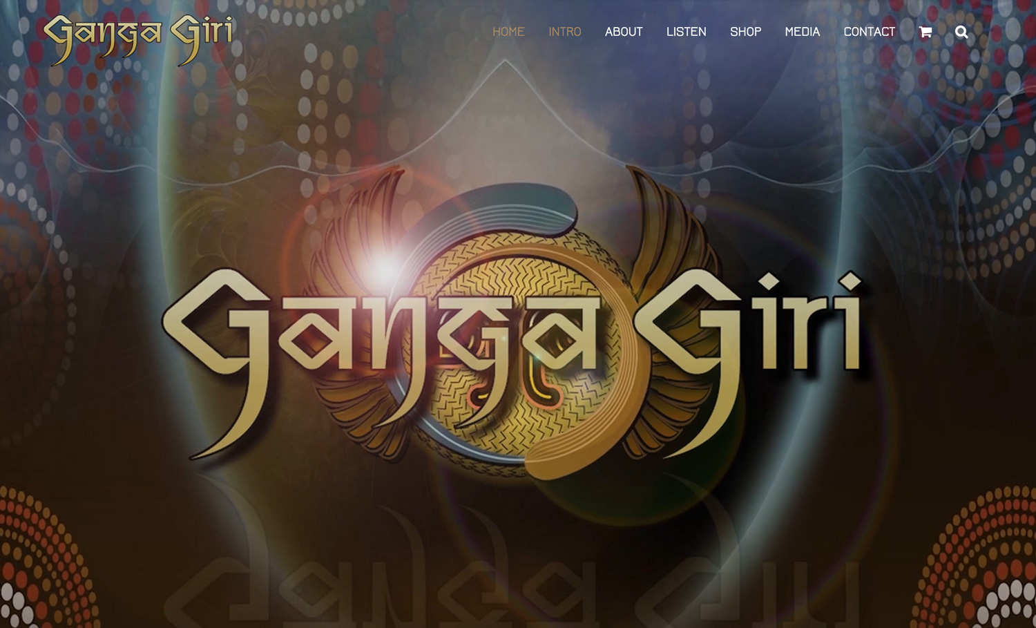
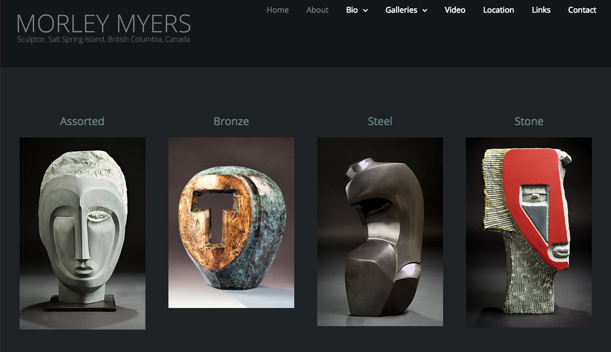
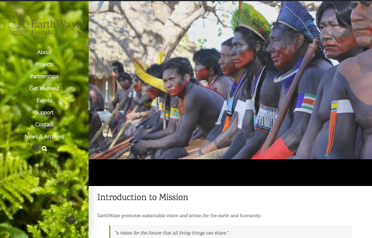
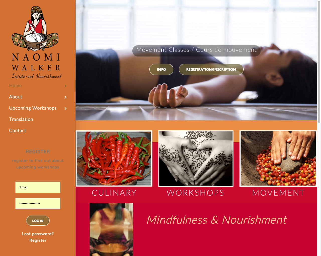
Salt Spring Web Design is a highly creative and technically astute design team involved in the creation of original web sites, graphics, logos, photography, print work, brochures and signage on Salt Spring Island, British Columbia, Canada and around the world.
Our work has been used locally and internationally for film, television, performance, music and corporate videos as well as a wide range of online applications. We create unique, user friendly, clean and functional web sites. Click the button below for a free consult or to get help in creating your unique online presence.
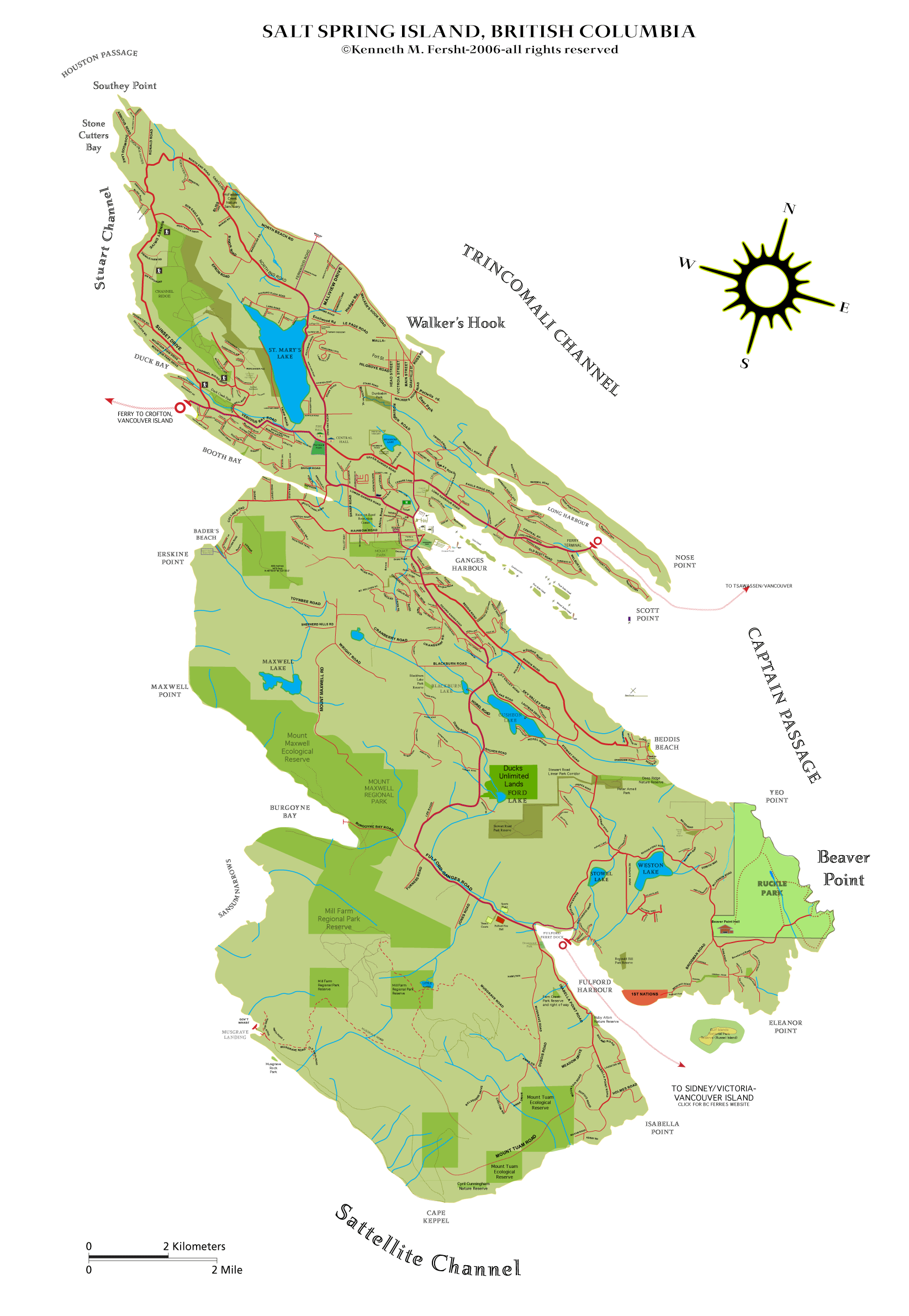
We are also the creators of Salt Spring Island’s free online/offline interactive map. Click the map image to the right to download your free copy. Keep it on your desktop or mobile device for offline use while travelling. Open in adobe acrobat reader for full bookmarks, interactivity, and usability.
OUR MISSION IS TO FOCUS CREATIVE ENERGY IN MEANINGFUL WAYS, TO TELL A MEMORABLE STORY, TO HELP YOU TO EFFECTIVELY ENGAGE & COMMUNICATE YOUR MESSAGE TO A WIDER AUDIENCE.
PHOTOGRAPHY & DIGITAL IMAGING FOR WEB AND PRINT
Our photography stems from our love and appreciation of nature. Having said that we appreciate all kinds of forms, man made also and strive to capture what we see in the best possible light. We love to experiment with new techniques while having a firm grounding in the classical and technical aspects of the art. We will be delighted to help you should you have the need for some portraiture or product photography. Photos may also be licenced for use on your web site or print materials. Prints may be ordered individually in sizes ranging from 4×6 to 36×24 inches, matt or gloss, prices vary. We will be adding an e-commerce stock photo image bank section in the spring of 2017.
When you can penetrate
the beauty of simplicity
then your eyes are ready.
Creativity
Intuition
Communication
Setting industry standards for more the 20 years, we have a long track record of being ahead of the game, astutely predicting future trends. With a strong cross training in the art of design applied to a multimedia universe and staying cutting edge with our design skills.
Creative
Creativity is what truly drives us. We are multimedia folk by nature, not just by profession. A long and deep passion for text work, imagery, symbolism and the communication arts in general is serving us well at this point and we are really coming into our strength in all areas.
Technical Skills
We have the technical coding skills to create from scratch using html, .css and .js and are also well familiar with a wide variety of modern .php based CMS systems, such as wordpress, drupal & joomla.
Content Creation
We are capable and experienced in writing, editing, and pre-press as well as photography and video production

Salt Spring Design delivers compelling customer experiences across multiple devices. With responsive design, we create one well-planned site to deliver an optimized experience across multiple devices and screen sizes. read more..
The art is in the detail. We have a fairly zen design aesthetic but pay close attention to balance, legibility and detail to give our sites a finely finished touch

Salt Spring Photo-Video offers professional video production for art, commercial, web site or social media.
We Build Working Solutions for Artists and Entrepreneurs